WP(1): Climate-tectonic impacts on surface processes
Over the last two decades, numerous theoretical and modeling studies of erosion and depositional processes in tectonically active mountain belts have been used to better understand the principal allogenic processes that are responsible for the characteristics of sedimentary records1,2,3. Most of these models are based on short-lived perturbations of steady-state conditions, either through variations in subsidence rates or in the amount of precipitation, until new steady-state conditions are reached after a response time of about 105 to 106 years4. These models demonstrate that similar stratigraphic architecture may result from different forcing conditions, rendering many field-based interpretations of the causal mechanisms unclear5. This ambiguity is especially prevalent in settings where outcrops are not continuous, where little or no information is available on the tectonic and erosional history of the sediment, and where significant time lags exist between the timing of stress-field and kinematic changes, resulting fault activity, and sedimentary responses.
A further problem in realistically portraying the complex relationships between different forcing mechanisms of depositional processes has been that precipitation regimes and tectonics have been treated as individual, rather than co-varying parameters, often ignoring possible feedback mechanisms between deep-seated and surface processes6. Many state-of-the-art numerical landscape evolution models simulate erosion but neglect deposition, resulting in less knowledge of intermittent sediment storage within mountain belts. Such sediment storage is crucial in decoupling hillslope from channel processes; attenuating water, sediment, and biogeochemical constituent fluxes; hosting archives of environmental change between source and sink; and ultimately producing flat terrain in an otherwise steep, dissected landscape7. Furthermore, as the construction of mountain ranges fundamentally influences atmospheric circulation systems over time, the long-term interaction between topographic growth, rainfall, and erosion may in some cases alter the structural evolution of wedge-shaped fold-and-thrust belts and the locus of tectonic activity, potentially leading to out-of-sequence deformation8,9.
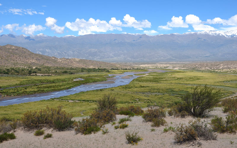
The convergence between the Nazca and South American plates10, the geometry of the downgoing oceanic slab, and its interaction with the upper plate11 create the forces that generate retroarc topography, deform rocks, and mobilize the fluids and sediments that ultimately are involved in the creation of metallic and energy resources in the southern central Andes. Between 15 and 27°S, the Altiplano-Puna plateau, Earth’s second largest orogenic plateau, spans Bolivia and NW Argentina with an average elevation of 3.7 km. This internally-drained region comprises contractional basin-and-range topography characterized by isolated and sometimes coalesced sedimentary basins12,13. The interference of the N-S distribution of Andean topography with global atmospheric circulation patterns has resulted in highly asymmetric rainfall, erosion, and sedimentation patterns. In the Central Andes, the principal moisture sources affecting the E flanks of the orogen are the SAMS and the SACZ. In contrast, the orogen interior and its western flanks are arid to hyperarid, but they appear to have repeatedly received higher precipitation on millenial timescales14. Today, most of the extreme hydro-meteorological events observed in the Central Andes are intimately associated with ENSO or the tropical quasi-biennial oscillation15.
1 Babeyko and Sobolev, 2005; 2 Babeyko et al., 2006; 3 Armitage et al., 2011; 4 Whipple and Meade, 2006; 5 Burbank et al., 1988; 6 Molnar, 2009; 7 Straumann and Korup, 2009; 8 e.g. Willet, 1999; 9 Whipple and Meade, 2006; 10 Allmendinger et al., 1983; 11 Sobolev and Babeyko, 2005; 12 Jordan and Alonso, 1987; 13 Alonso et al., 1991; 14 Strecker et al., 2007; 15 Mo and Berbery, 2011